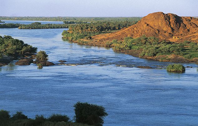
The Government has finalized plans to start building a world-class tourism site at the Source of the Nile in Jinja City.
According to Bashir Hangi, the Spokesperson Wildlife authority, the project is expected to start in the next financial year and will take 18 months with the construction of an observation tower and pier on the Jinja side where the Jinja City Council offered the land.
The source of the Nile is surrounded by Njeru Municipality Council in Buikwe District on the side of Buganda, and Jinja City in Busoga Sub region.
In a statement released last month by the Ministry of Tourism Wildlife and Antiquities, the ministry was looking for land covering a 3km radius to develop the source of the Nile master plan.
Hangi said that the project, which aims to transform the Nile’s Source to a world-class status, will start in the next financial year.
However, residents in Bukaya West and Bukaya East villages in Njeru Town, Buikwe District, have rejected the plan by the government to expand the source of the Nile by a radius of three kilometers.
The Spokesperson said that, over 300 homesteads in the two villages of Njeru Division, Njeru Municipality in Buikwe District are expected to be affected by the project.
Residents of Bukaya East said that it is high time the government came out with clear information on how the project is going to be executed.
According to the residents, they are worried because the first master plan document indicated 3kms (with 1.5kms on the side of Jinja and 1.5kms on the Njeru side), they now hear it has changed to 300 meters which is confusing them.
Bukaya West Village Chairperson, Jimmy Okee said that some residents are still confused about the radius of the planned expansion.
Okee said that what is confusing people is that they are getting conflicting information about the project.
“Once that is addressed, all residents will embrace the project because they will also benefit from it,” he said.
Hangi said that the owners of the land and property will be compensated based on valuation rates developed by district land boards and approved by the Office of Chief Government Valuer.


